
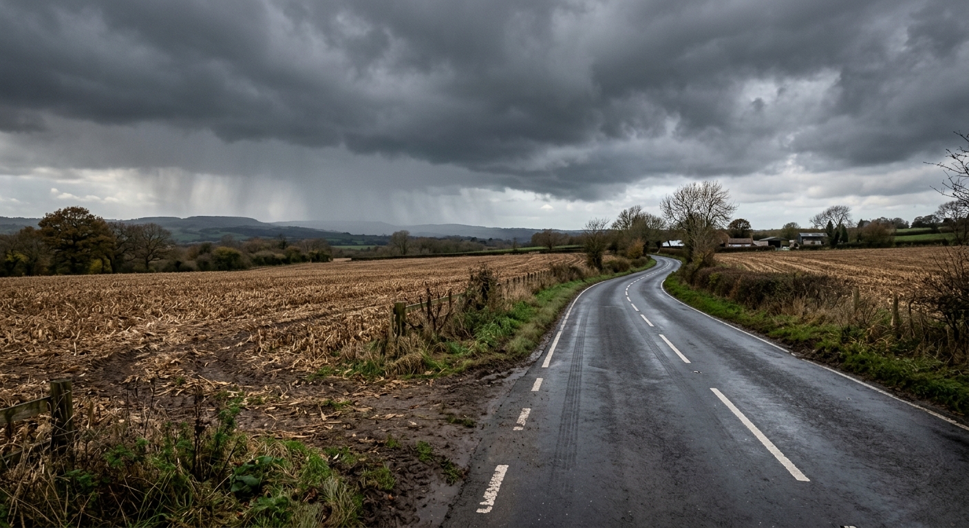
AI-generated illustration; not a photograph of the reported event.
- calendar_today October 15, 2026
Storm System Moves In After Warm Start
The week began with sunshine and record high temperatures, but Indiana's weather is changing rapidly. An approaching storm system brought clouds and cooler conditions on Thursday, marking a significant shift away from the early October warmth.
Cold Front to Bring Thunderstorms and Gusty Winds
This afternoon saw scattered showers and thunderstorms moving into the state, ahead of a strong cold front that is expected to sweep across central Indiana overnight. The weather forecast indicates that additional showers and storms are likely, with strong storms possible. The main threat from these storms is gusty winds, although the risk of severe storms remains low. There is a slight chance of an isolated rotating storm, but widespread severe weather is not expected.
Friday: Cool Down, Foggy Conditions, and Scattered Showers
Friday will see a noticeable temperature drop with highs reaching only the mid-50s. The morning is expected to start with widespread fog and scattered showers. Temperatures will dip into the lower 50s by midday and are forecasted to remain steady through the afternoon. Wind gusts could reach up to 30 mph, adding to the brisk feel of the day. A few showers may linger into the evening, potentially impacting those planning to attend high school football games. Spectators are advised to dress warmly and take along a poncho or umbrella, just in case. While widespread rain is not forecasted for Friday night, passing showers could contribute to a chilly atmosphere.
Cool, Fall Weather Sets in for the Weekend
Following the passage of the cold front, much cooler and more characteristic fall weather is on the way for the weekend. Skies are expected to clear out, with nighttime lows dipping into the 30s and lower 40s. There is a chance for scattered light frost both Saturday and Sunday mornings. High temperatures will rebound gradually, reaching the upper 50s on Saturday and climbing to the mid-60s by Sunday afternoon.
Looking Ahead: Shorter Days and Lower Temperatures
October began on a warmer note, but a cool down now dominates the weather forecast. As daylight hours continue to shrink, average temperatures are falling as well. After a wet Friday with gusty storms mainly south of I-70, dry conditions are expected to return for the rest of the weekend. Chilly mornings and comfortable afternoons reflect the transition to typical fall weather conditions across Indiana.
Weather Outlook Summary
- A few gusty storms are possible mainly south of I-70 this evening.
- Friday will bring windy, cooler conditions with widespread showers and foggy conditions in the morning.
- Scattered showers may linger into Friday night, impacting outdoor plans.
- The weekend will be drier but much cooler, with chances of morning frost and gradually warming afternoon temperatures.
Source: fox59.com.